
Lake County Previous Resident Sources
Start with the era. The modern parcel card gives a stable parcel identifier and legal description. The Recorder supplies instruments that transfer or affect title. Printed directories and public census schedules can identify occupants, including people who did not own the property. Maps and aerial images show physical change, not names.
| Source | Years it covers | Where held | What it shows |
|---|---|---|---|
| Assessor and GIS card | Current data; historic start unstated | County online portals | Parcel, deeded owner, situs, legal description |
| Recorder instruments | Office records more than 200 years old; online cutoff unstated | Recorder portal and office | Transfers, liens, plats, mortgages, releases |
| City directories | Confirmed selections from 1889 to 2020 | State and local libraries | Dated household or business listings |
| Public census | Through 1950 under the federal release rule | Archives and library databases | Household members and relationships |
| Sanborn and aerial maps | Local sets from 1908 onward; aerials 1978-2023 | Library of Congress and GIS | Structures, uses, blocks, and site change |
If the target is recent, begin with GIS and the Assessor. For an early twentieth-century address, use the closest directory and Sanborn sheet, then connect the names to deeds and newspapers.
Anchor a Lake County Address
The Lake County Parcel Viewer separates the physical, or situs, address from the tax mailing address. It also publishes parcel ID, municipality, ZIP, acres, property class, Section/Township/Range, legal description, and links to the Assessor, Recorder, and Treasurer. Save the parcel ID and legal description before leaving the map.
A legal description can remain stable when a street label changes. Platted parcels use lot, block, and subdivision terms. Unplatted land may use acres or metes-and-bounds language. Section/Township/Range is especially useful for moving from a modern card to an old plat or deed.
- Situs address
- The physical location assigned to the parcel.
- Mailing address
- The destination used for tax correspondence, which may be elsewhere.
- Legal description
- The land description used in deeds, plats, and title records.
- Parcel ID
- The county identifier used to cross-check property systems.
Lake County Deeds Backward
The Lake County Recorder search is login-gated. Its public pages support one-line and individual-field search but do not state a fixed online start year. The office says it holds recordings more than 200 years old, so the fallback is an account, office contact, or in-person review rather than an unofficial name list. Purchased images cost $1 per page plus a $3 administrative fee per order according to the Recorder's public description.
- Find the current parcel in the Assessor or GIS and copy its legal description.
- Locate the current owner's purchase deed and record its date, parties, type, instrument number, and land description.
- Search the seller as an earlier grantee to locate that person's purchase.
- Repeat the grantor-to-grantee link, checking every legal description.
- When online coverage ends, ask the Recorder for the older index, deed book, or microfilm route.
The chain must distinguish a deed from a mortgage, release, lien, correction, plat, sheriff's deed, or tax-sale instrument. A mortgage and release do not transfer ownership. A tax-sale notice does not prove that a sale became final.
- Grantor
- The party conveying an interest.
- Grantee
- The party receiving that interest.
- Chain of title
- The linked series of recorded transfers for the same land.
Recorder Access Beyond the Web
The Lake County Recorder is the custodian for deeds, mortgages, liens, releases, leases, subdivision plats, surveys, and related instruments. Court judgments, wills, marriage licenses, and birth or death certificates belong with other custodians. The online login gate is not evidence that older records do not exist.
For an office request, give the parcel number, legal description, party names, and approximate date. Ask whether the needed item is an index entry, image, certified copy, deed book, or plat. E-recording began in March 2021, but that intake change did not establish the historical online cutoff and did not turn every old paper volume into a digital image.
Note: Keep each instrument type in its own timeline row so a release or correction is never reported as a new resident.
Lake County Directory Households
Ownership is only half the trail. A city directory may list an occupant, boarder, widow, business, or institution at an address. The State Library guide confirms city-specific runs for Crown Point, Gary, Hammond, East Chicago, Griffith, and Hobart, plus countywide Polk books for 2012, 2015, and 2020.
Not every edition has a reverse or criss-cross section. Inspect the front matter and street index in each book. Search the house number, copy the printed name, then check the alphabetical entry. The full shelf and publisher runs are covered in the Lake County city directory collections.
- Select the nearest edition for the correct municipality.
- Check both surname and street sections where present.
- Compare the editions before and after the target year.
- Pair the result with the nearest public census schedule.
- Record gaps as gaps, not proof that the house was empty.
Sanborn Maps Date Lake County Buildings
The Indiana State Library property research guide connects deeds, directories, maps, newspapers, and historic-structure sources.
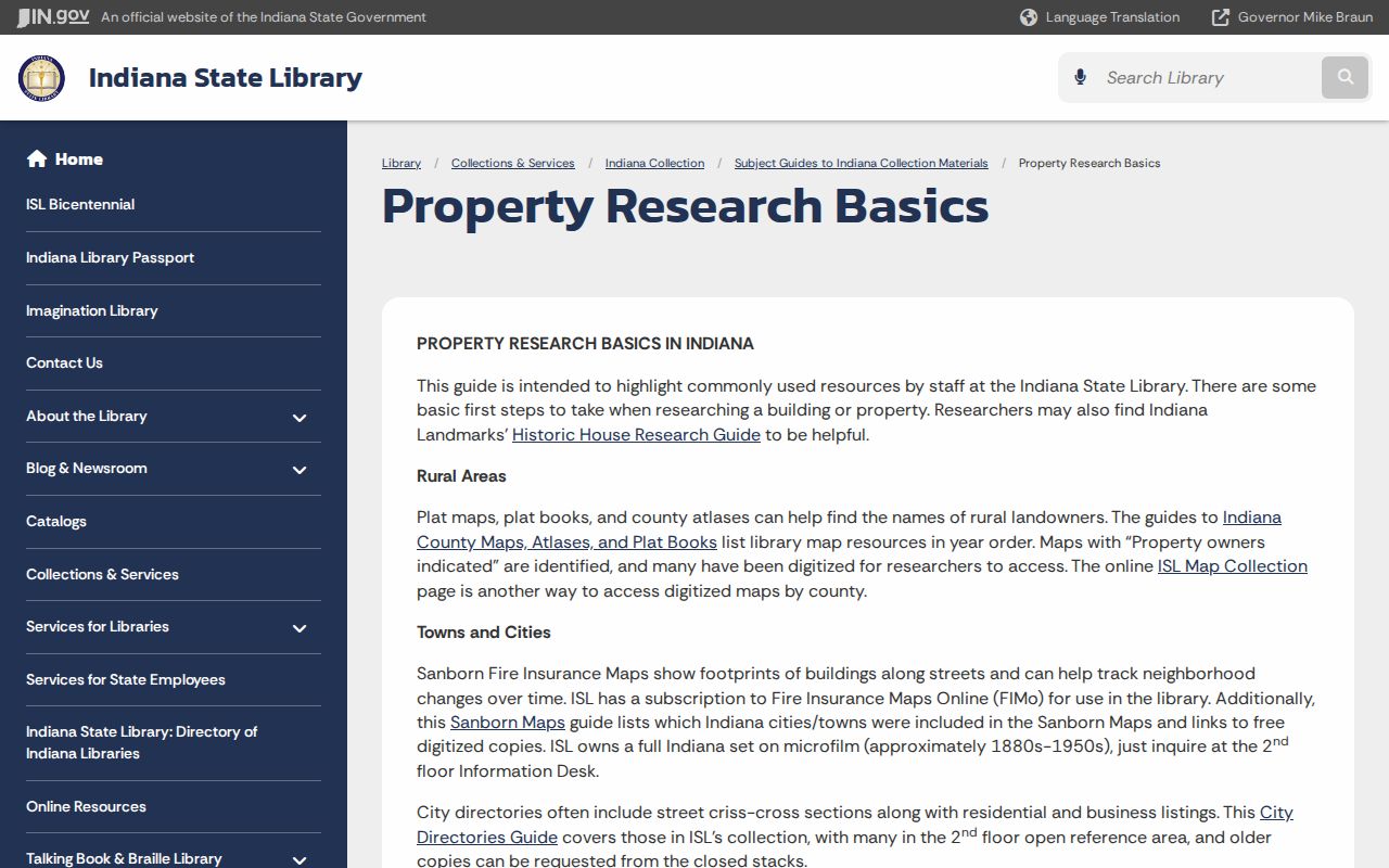
Its method helps keep a directory occupant separate from a deed owner and a mapped building.
Crown Point has a nine-sheet 1910 Sanborn set, Gary a twelve-sheet 1908 set, and Hammond a 126-sheet 1915 set that includes East Chicago, Indiana Harbor, and Whiting. The East Chicago 1930 catalog describes 103 sheets but marks them unavailable online. Compare the sheet year, footprint, use, street number, and block. A missing building may explain why an address does not appear in an earlier city directory.
Lake County Aerial Change
The county Parcel Viewer supplies historical aerial layers for 1978, 1998, 2005, 2013, 2018, and 2023. They can show that a building appeared, vanished, expanded, or sat beside a rail line, drain, wetland, or industrial corridor. They do not identify previous residents.
Use a simple evidence label: map shows structure, directory lists occupant, deed records transfer, assessor lists tax owner. The GIS viewer is informational and not a legal survey. Parcel geometry beside a road or water feature does not establish a surveyed boundary.
Obituaries Close Lake County Gaps
The LCPL obituary database searches name, partial name, maiden name, date, city, and age. Its community runs include Crown Point material from 1857, Hobart Gazette entries from 1891, Lowell Tribune from 1920, Post Tribune from 1921, Hammond Times material, and Whiting items from 1919. The 1987-1989 Post Tribune span is incomplete.
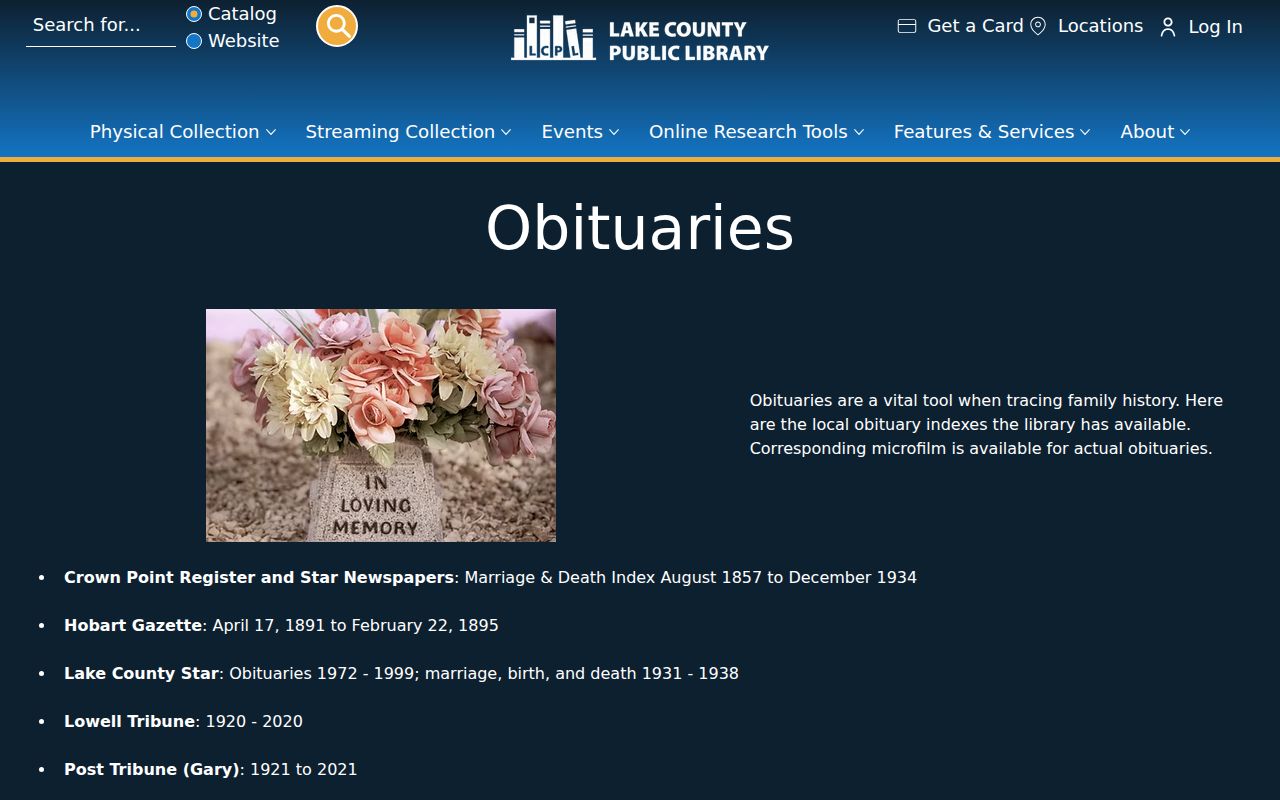
An index result points to a notice. Verify the notice on microfilm or a page image, then cite the paper, date, page, and repository.
Obituaries and probate files may explain why a name disappears or identify heirs tied to an estate. They should close a documented trail, not be used to guess that a person occupied the address continuously.
Report Lake County Evidence Dates
A sound house history is an evidence timeline, not one continuous occupancy claim. Give every fact a source and date. Note whether the record names an owner, occupant, taxpayer, heir, business, or institution.
| Parcel card | Tax owner and property fields as of its data date |
|---|---|
| Recorded deed | Legal transfer or other instrument on its recording date |
| Directory | Printed listing for one edition |
| Map or aerial | Physical evidence for the map year |
| Newspaper | Reported event in a dated publication |
This approach makes uncertainty visible. It also prevents an old public record from being presented as a current address.
Use records lawfully. Research previous residents for house history, family history, estates, or personal curiosity. Never use the trail to stalk, harass, or endanger a living person.